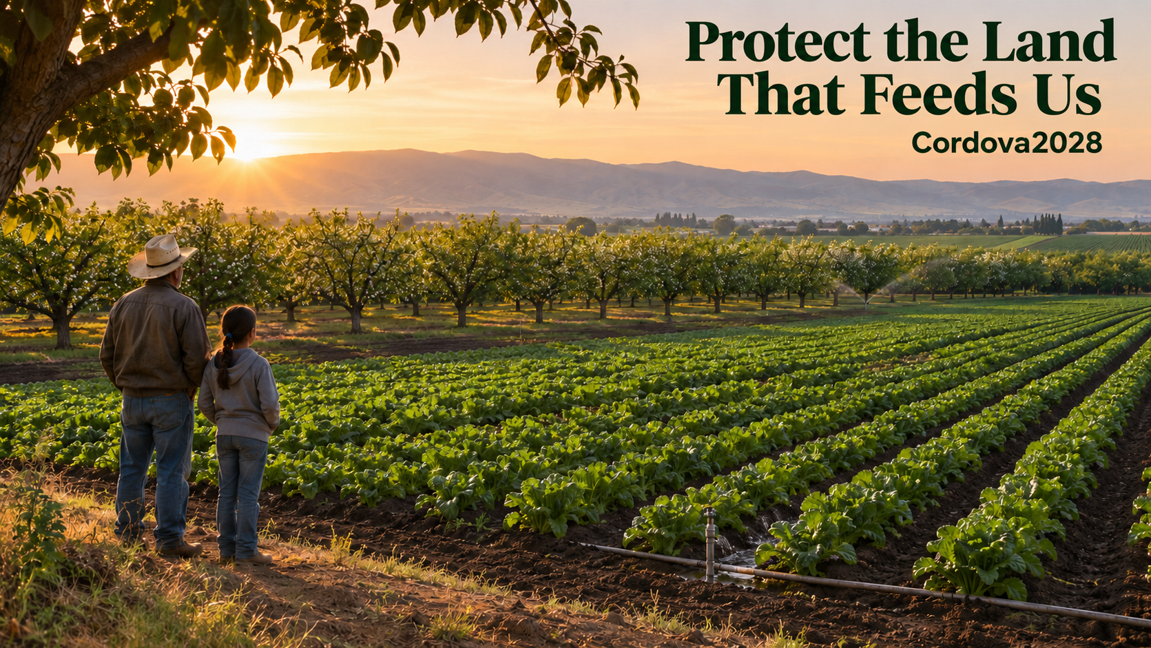
Before we ever talk about the price, we should ask what we are asking the next generation to give up.
By Vincent Cordova · November 17, 2026
When a government tells a farmer that a runway, a power line, or infrastructure for a private development must cross the land they work, I want us to ask a question before we ever talk about the price:
What are we asking the next generation to give up?
A farm is a living system. Soil, water, drainage, and the knowledge of the people who work the land come together to put food on our tables. A map can show an open field without showing the irrigation that makes it productive or the years it took a family to build healthy soil. A field resting between crops can look empty to someone who has never had to prepare it for the next harvest.
My position
I oppose the use of eminent domain to take land that is producing food or is capable of agricultural production.
Land producing food today
Land capable of agricultural production
Land resting between crops or in rotation
Outright takings
Forced easements and rights-of-way
Takings by government or by companies it authorizes
That includes forced easements and rights-of-way. The protection should cover land temporarily fallow or in crop rotation, and it should apply when a government acts directly or a private company exercises authority delegated by government. A public vote or an exception for regional infrastructure should never override this protection.
Under the surface
What we lose when we build over good soil
Buildings and pavement can take land out of agricultural production for the life of a development. Even where a field can be replanted, construction can strip or mix topsoil and compact the layers beneath it, making it harder for roots to grow and water to soak in. Iowa State researchers studying a pipeline right-of-way documented significant soil compaction and gradual crop-yield recovery over five years. The effects depend on the site and the work involved. Losing the use of a field for several growing seasons can already change what a family can afford to plant or whether a farm can stay in operation. USDA soil guidance ↗Iowa State study ↗
Right-of-way
Topsoil
Built over years of care. Holds the roots, organic matter and life of the field.
Compacted layer
Heavy equipment presses the soil together. Roots struggle and water cannot soak in.
Subsoil
Mixed into the topsoil when a trench is dug and backfilled.
Iowa State researchers documented significant compaction on a pipeline right-of-way and crop yields that recovered gradually over five years. Effects vary by site and by the work done.
The USDA Census of Agriculture counted 20.1 million fewer acres of land in farms in 2022 than in 2017. That measure includes more than cropland and does not tell us how much acreage was paved or condemned. It does give us a reason to pay attention to which land remains in production and which land we are preparing to give up. USDA Census of Agriculture ↗
If we keep making these decisions one parcel at a time, we can lose sight of what happens across an entire region. A right-of-way can divide a field and complicate access to irrigation. A facility can remove acreage from production for decades. Future farmers inherit fewer viable places to grow food and fewer options when drought, floods, or supply disruptions put pressure on the places we already depend on.
Already happening · Griffin, Georgia
This is already a real siting question. In Georgia, the Griffin–Spalding County Airport Authority reported that about 24 acres of the historic Thomas–Melin farm site would be converted to airport use, including land actively producing pecans. The authority’s own records put the tradeoff in plain view.
Who stands behind the company asking for the land?
The name on a permit application is rarely the whole story.
A project can be filed by a domestic LLC that is owned by a holding company, which is owned by a fund, which is financed by investors and lenders the public never sees. Every layer can be legal. Together, they can make it nearly impossible for a farmer to learn who will actually benefit from the loss of their land.
The name on the permit
A domestic LLC with a local address.
What the farmer sees
A holding company
Owns the LLC. May be registered in another state or country.
Rarely disclosed
A fund or parent company
Owns the holding company. Its managers may appoint directors.
Rarely disclosed
Investors, lenders and contract partners
Supply the money. Some hold veto rights or control through financing terms.
Almost never disclosed
Every layer can be legal. Together they can hide who benefits when a farm loses its land.
Imagine a foreign adversary forms a U.S. developer or gains influence over an existing developer through a shell company, a private equity fund, or an institutional investor. The company on the permit application could still be a domestic LLC with a local address. To understand who actually directs the project, the public would need to know who can appoint directors, veto decisions, or control the developer through financing or agreements.
That is a scenario our laws should be able to detect. Today, they are not built to. I have no evidence that it occurred in the projects discussed here. A passive investment also tells us little by itself about who controls a company. But a system that cannot answer the question cannot rule it out either. The facts to verify are who supplies the money, who exercises control, who stands to benefit, and what changes after the project is approved.
What our safeguards can see, and what slips past them
Federal safeguards cover parts of this problem. Each one has a specific legal scope, and the gaps between them are where control can hide.
AFIDA
What it can see
Foreign persons must report interests in U.S. agricultural land, including leases of ten years or longer. They reported more than 47 million acres as of December 31, 2024, about 3.6% of privately held agricultural land. 11.5 million of those acres sit inside U.S. companies with significant foreign ownership.
What can slip past it
GAO found USDA’s tracking lacks data verification and key information, resulting in errors and omissions, and recommended collecting information beyond the primary investor. USDA treats its figures for China, Iran, Russia and North Korea as minimums.
Can review certain foreign investments in U.S. businesses and certain real-estate transactions near listed military installations and other sensitive sites, for national security risks.
What can slip past it
Its real-estate reach depends on lists and thresholds. GAO found AFIDA data are not regularly used in CFIUS reviews, partly because of limited information sharing with USDA.
Congress passed it so shell companies would have to tell the government who really owns them.
What can slip past it
In March 2025 FinCEN exempted every U.S. company from that reporting, and in August 2026 it made the exemption permanent. A domestic LLC seeking land today does not have to tell FinCEN who owns it.
The Government Accountability Office has documented shortcomings in how USDA collects, verifies, and shares agricultural investment information. A land-interest filing and an inquiry into who controls the developer answer different questions. Congressional Research Service, Nov. 2026 ↗
When the system had no answer · Grand Forks, North Dakota
No jurisdiction
2022Fufeng Group, a company headquartered in China, plans a $700 million corn mill on about 370 acres near Grand Forks Air Force Base.
Dec 2022CFIUS concludes it has no jurisdiction. The base was not on its list of designated military installations.
Jan 2023The Air Force tells North Dakota’s senators the project “presents a significant threat to national security.”
Feb 2023The Grand Forks City Council votes unanimously to stop the project.
The federal review said it had no authority. A city council became the last line of defense. That case involved a purchase, not a condemnation. When a company holds the power of eminent domain, the farmer does not even get to say no.
I want the same farmland protection whether the project is backed by a foreign government, a domestic private equity firm, or someone who lives down the road. Healthy soil matters regardless of who owns the company or what they intend. Ownership disclosure helps us see who is asking to exercise public power and why. Protecting farmland places a limit on that power whoever holds it.
The power to take land is public power. Whoever borrows it owes the public the truth about who they are.
Before a single acre is taken
Questions every landowner deserves answered
1Who owns this company, all the way to the people at the top?
2Who can appoint its directors or veto its decisions?
3Who is financing this project, and on what terms?
4Who is this project built to serve?
5Who profits if the project, or my land, is sold later?
6What happens if control of the company changes after approval?
At the rate we are going
What happens if we do nothing?
From 2001 to 2016, the United States lost or compromised 2,000 acres of farmland and ranchland every day. That is about one acre every 43 seconds.
Since you opened this page
0.00
acres of farmland and ranchland lost or compromised
reading time 00:00
Calculated at 2,000 acres a day, about one acre every 43 seconds. That is the national rate American Farmland Trust measured from 2001 to 2016. It is an illustration of that pace, not a live measurement.
If those trends continue, American Farmland Trust projects that another 18.4 million acres will be converted between 2016 and 2040, an area nearly the size of South Carolina. Nearly half of that conversion would fall on the nation’s most productive, versatile, and resilient land, which the report finds is more than 50% more likely to be converted than other agricultural land. If rural sprawl speeds up, the loss could reach 24.4 million acres. Farms Under Threat 2040 ↗
2001–2016
2,000 acres a day
lost or compromised (measured)
2017–2022
20.1 million
fewer acres in farms (USDA Census)
Today
The choice
keep the pace or change it
2016–2040
18.4 million
more acres converted if trends hold (projected)
~1.6M
acres between today and Inauguration Day 2029
At the 2001–2016 pace of 2,000 acres a day, over 795 days.
58.1
average age of a U.S. farm producer in 2022
USDA Census of Agriculture. Producers under 35 were 9%.
~50%
of projected conversion on our best land
Nationally Significant farmland, American Farmland Trust.
Most of that loss comes from ordinary development, not from condemnation. That is exactly why condemnation matters. Eminent domain adds pressure to a resource that is already shrinking, and it is the one kind of loss in which the farmer has no choice at all.
The people who grow our food are getting older. When they retire, their land will be sold, inherited, or developed. Every productive acre that is condemned or paved before then is an acre a young farmer will never get the chance to buy. USDA farm producers ↗
A child in fourth grade today will be in their mid-twenties in 2040. If we keep going the way we are, the land they could have farmed will already have been decided for them, one parcel, one easement, and one exception at a time.
If we do nothing
More of our most productive soil goes under pavement, with little realistic way back.
Remaining farms are split by rights-of-way and become harder to irrigate, drain and work.
Fewer acres and higher prices push young farmers and tenants even further from owning land.
More of our food depends on places that drought, floods or supply disruptions can cut off.
We find out who really controlled a project only after the land is already gone.
Every taking becomes the precedent that makes the next one easier to justify.
If we act now
Productive and farmable land is off the table for condemnation.
Anyone asking for public power has to show who they are.
Routes and sites are compared in public before decisions are made.
The communities that live with a project can say no and have it count.
The next generation inherits soil, water and choices we did not spend for them.
Soil that took generations to build can be lost in a single construction season. Doing nothing is a decision too.
Public use, honestly defined
What I want the law to require
In Kelo v. City of New London, the Supreme Court held that an integrated economic redevelopment plan could meet the Fifth Amendment’s public-use requirement even though some of the property would pass to private parties. Justice Thomas argued in dissent for a narrower reading grounded in government ownership or a legal right for the public to use the property. I want a public-use standard that asks what service the public can actually count on and enforce. Promised jobs and tax revenue alone should never justify taking someone’s land. Supreme Court opinions in Kelo ↗
The federal transmission debate makes this concrete. Section 2101 of Senate Amendment 6883 to H.R. 2347 would remove the existing designated-corridor requirement for certain federal transmission permits. A qualifying permit can lead to a court proceeding for a compulsory right-of-way under federal law. That is how a project that helps serve a data center could affect a farm miles from the proposed facility. Senate amendment text ↗Federal Power Act, 16 U.S.C. § 824p ↗
Here is what I want us to develop with the people who will live with these decisions.
1
Prohibit condemnation of productive and farmable land.
Cover outright takings and compulsory easements, including temporary construction easements. Use soil surveys, water and drainage conditions, production history, and the knowledge of farmers and tenants to identify protected land. Include land resting between crops.
2
Show the public who controls the project.
Require companies seeking condemnation authority to disclose their ultimate owners, controlling interests, significant financing arrangements, and major customers the project is designed to serve. Require independent verification and updated disclosures when control changes. Refer transactions that raise national security concerns to the appropriate authorities.
Apply this to every company that seeks condemnation power, domestic or foreign. Federal beneficial ownership reporting no longer covers U.S. companies, so this disclosure has to be a condition of receiving public power, filed publicly and under penalty of law. If a company will not say who controls it, it should not receive the power to take anyone’s land.
3
Require developers to show their alternatives early.
Publish route and site comparisons before decisions are made. Evaluate existing rights-of-way, previously developed sites, and feasible routes that avoid farmable land. Invite farmers and tenants to identify impacts on drainage, irrigation, equipment access, and the ability to keep the farm viable.
4
Give a community’s “no” legal force.
For proposed takings outside protected farmland that primarily serve a private development, give each directly affected community a binding vote. A rejection should stop condemnation for that route. A materially revised route should require fresh notice and approval. Landowners should retain the right to challenge a taking even when the community votes yes.
5
Make the land whole, and give it back if it is not used.
Where land outside protected farmland is taken, compensation should cover the years it takes soil and yields to recover, not only the appraised value on the day of the taking. Require developers to restore topsoil and drainage to a documented standard. If the project is abandoned or the land is never used for the stated purpose, the original owner or their family should have the first right to buy it back.
These goals build on Protecting American Agricultural Sovereignty, the executive order that already addresses foreign state-linked ownership, eminent domain against active food-producing operations, and the Spalding County airport takings.
Your voice
What will the next generation inherit?
I want to hear from the people who grow our food, including farmers who rent the land they work, farmworkers, Tribal governments, and families who have already faced condemnation.
Tell us what a route map missed.
Tell us which fields, water sources, or access roads your farm depends on.
Tell us what you wish you had been able to say before the decision was made.